 Support TT
Levi's Latest Video Update
[Tuesday] Watching Tropical Disturbance near Florida; Heavy Rainfall to Spread Westward
Current Atlantic-Pacific Satellite View:
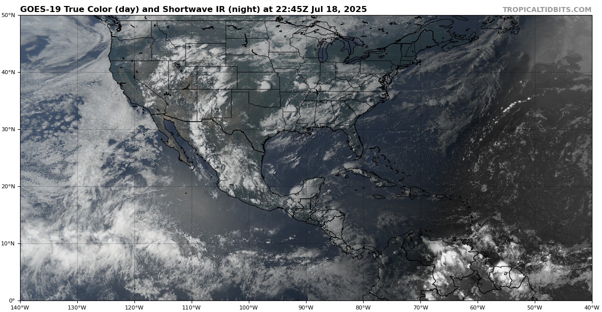
Current Atlantic-Pacific Satellite View:
Copyright © 2012- 2025 Tropical Tidbits, All Rights Reserved.
Contact: levicowan@tropicaltidbits.com
Privacy Policy: tropicaltidbits.com/privacy-policy.html