 Support TT
Caribbean Disturbance to bring Rain to the GOM, and may Develop
We are continuing to monitor the Gulf of Mexico for tropical development later this week, through the weekend, and into early next week. We now know the instigating disturbance is a tropical wave coming northwestward out of the Caribbean into the central-eastern gulf while interacting with the monsoon trough over central America. Right now a broad, elongated area of showers and thunderstorms is covering the Caymans, Cuba, and the Bahamas. This activity will be spreading northward over the next couple of days, encompassing all of the Bahamas and Florida, bringing heavy rains of many inches to some places. At this moment, only a weak mid-level turning is noted the western Caribbean, with most of the associated convection sheared off to the east, and overall the area is a complete mess right now. However, an upper low over the central Gulf of Mexico will be moving northward out of the way during the next 72 hours, allowing another upper low over northern Mexico to ventilate the gulf and allow an upper ridge to expand northward, lowering wind shear and providing a more favorable environment for consolidation of a tropical low. Due to the elongated nature of the pattern we are dealing with, the setup will likely not be optimal, but should be favorable enough to allow gradual development.
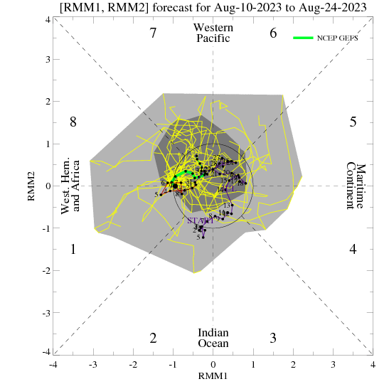
The models are still heavily diverging on the fate of this system immediately after 48 hours out, which is an impressive disagreement for the time period being so close to us now. The GFS for a couple of days now has started taking most of the moisture out to the northeast over Florida and into a trough over the eastern seaboard, while letting the low in the Gulf of Mexico die at 90W. I attribute most of this forecast behavior to a typical GFS bias where the model tends to throw the energy away poleward into a trough that it deepens too much into the tropics, an error that it makes a lot during strong MJO pulses. The GFS’s MJO forecast is also unrealistically strong in phase 1, which is likely causing feedback problems in our area of the world, which immediately calls into question its forecast in the tropics for the next several days. The CMC had previously taken the low northward towards the Carolinas as well, but such forecasts I am dismissing as unrealistic at this point. Most of this activity should eventually shift westward into the NW Gulf of Mexico with time, under a pattern very similar to Allison in late June 1989 as we have been discussing recently. The NAEFS and CMC ensemble means continue to support this idea.
Should this system develop, it will take its time in organizing, and likely won’t get terribly strong, unless it gets more time over water than expected, but a tropical storm is very possible in this pattern, and environmental conditions will be improving with time over the gulf. Development or not, a shot of rain is likely to get into the NW gulf and affect at least south Texas and northern Mexico. Rain will be harder pressed to get as far north as Houston and Louisiana, but that will depend on the exact track of the system once it gets into the gulf. Interestingly, many forecasts along the NW gulf coast are calling for sunny conditions for the next week, and it will be interesting to see if they get surprised. Overall, the general idea that we have been working on for the last couple of weeks has not changed, and a development threat in the western-central Gulf of Mexico will be spreading rain around from east to west as we move through the end of this week and into early next week.
We shall see what happens!
Don’t forget to follow my page on facebook for more frequent short updates (tidbits) on the tropics.
Self-updating Visible Satellite Loop:

11 comments